Travel Time Visualizations for the World
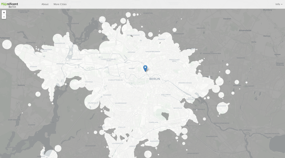
Mapnificent started with the wish to have an isochrone map like Mapumental for Berlin. I ended up providing isochrone maps based on GTFS data for more than 100 cities world wide.
Quite neat: Mapnificent calculates travel time in the browser by fetching all necessary data and then computing it in a Web Worker on the users computer. That way I don’t have to worry about providing computational resources.
The project lives on GitHub where people can add cities via pull requests.